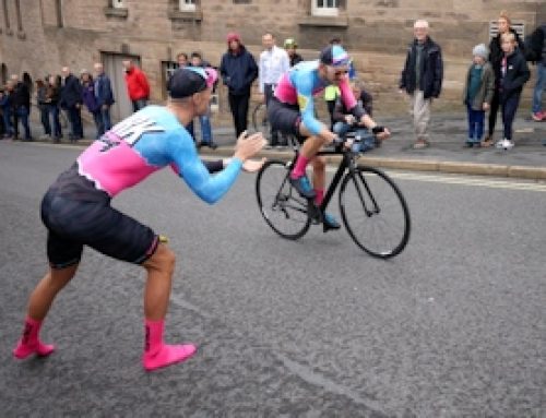
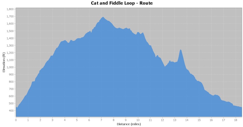
Grade: Challenging. 18.5 miles with 1850ft of ascent. This is a short, but hilly route that starts from the Railway Station in Macclesfield Town Centre. Suitable for road bikes, but with some technical descents to avoid in icy conditions. It is a route that is most enjoyable avoiding busy traffic times, offering both long, and short, sharp climbs, with rewarding moorland Peak District Views.
- Start: Macclesfield Railway Station
- Climb to Cat and Fiddle A537
- A54 junction towards Congleton
- Wildboarclough
- Macclesfield Forest
- Finish: Macclesfield Railway Station
 With Macclesfield Train Station on your right, pass under the low railway bridge, and go straight on at the traffic lights, to head towards the first and longest climb of this route, the ascent to the Cat and Fiddle, A537, (click here to read more about this climb). When you have reached the summit at the Cat and Fiddle Inn carry on straight past, (if your legs are not demanding a rest at this point), until you reach the junction with the A54 on the right. If you keep a close eye out there is a small cut-through road, which is a useful shortcut just before the main junction with the A54.
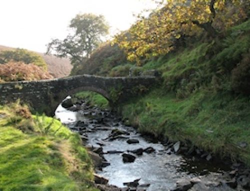
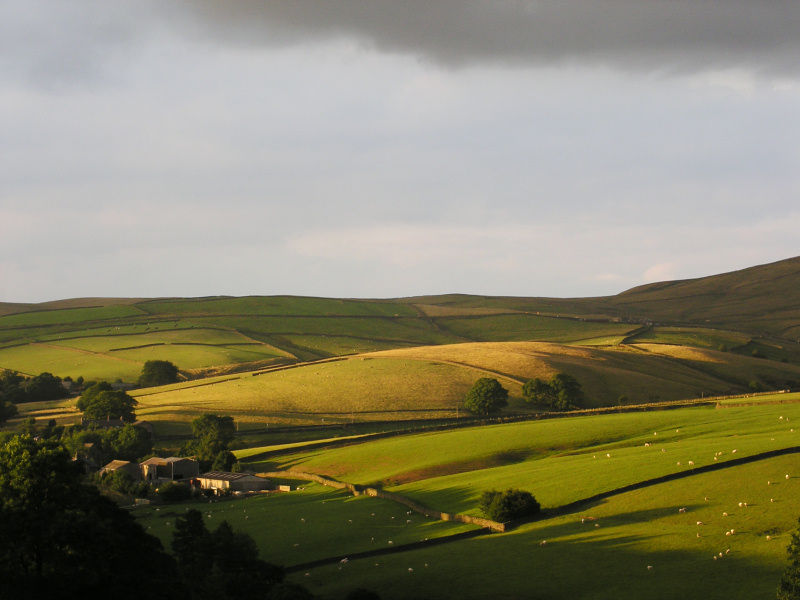
Enjoy the views, the undulating road, and keep an ear out for the the sound of Lapwings and Grouse, as you travel along the A54 towards Congleton. After 2.5 miles keep an eye out for a turning towards your right, just after the yellow speed cameras, take this turning and start the drop down towards Wildboarclough. After 0.3 mile there is another junction to the right, you can take this to cut out the middle of Wildboarclough and enjoy the views of Shutlingsloe on your left. Alternatively, carry on straight down the hill and turn right when you reach the junction at the bottom of the hill, both options will bring you to the same point as you head north through the valley and alongside the pretty Clough Brook.
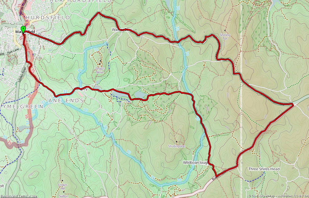 After a short distance you will see the short, but sharp climb up the Macclesfield Forest signposted to your left, you will need a low gear for this, although the climb doesn’t stretch out far beyond what you can see as you start the climb. At the top, an area known as Standing Stone, take a moment to look at the views to the right, back across towards the Cat and Fiddle in the distance.
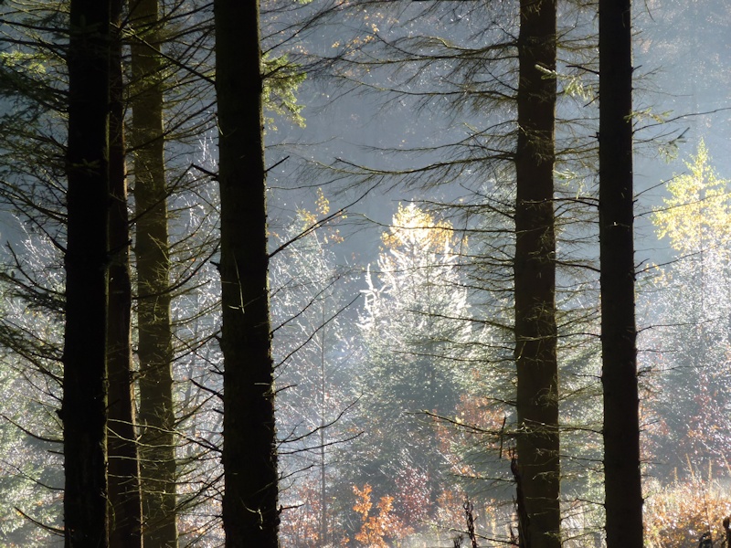
At the top of the hill bear to the left at the junction and descend towards Macclesfield Forest. Take extra care on this descent, twice I have come across cyclists who have had accidents on the hill, caught out by the rough gravelly surface and steep descent, combined with sharp bends. The road levels out slightly as you reach the forest with Trentabank Reservoir on your right, shortly followed by the Visitor Centre at Macclesfield Forest on the left, (click here for more information about the forest). There are refreshments and toilets at the Forest, although it is not far back to Macclesfield Town Centre from here, and all downhill, as you carry on through the forest.
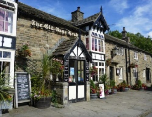
 After passing the Visitor Centre follow the road to the right at the junction and pass Ridgegate Reservoir on the left, before reaching the Leather’s Smithy pub on the right. Carry on along the main road through Langley and past the Church House Inn at Sutton. When you reach the end of the road turn right along Bullocks Lane, then right at the traffic lights onto Mill Lane.
Continue through Macclesfield and stay left at the next junction, before turning right at the lights and returning to your starting point at Macclesfield Railway Station.